Eureka
Situated just fifteen minutes south of the North Dakota border

Situated just fifteen minutes south of the North Dakota border

North Myrtle Beach RV Resort and Dry Dock - Luxury RV Resort in Little River
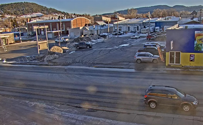
Check out the Lazelle Lurch as bikers ride into and out of the Legendary Sturgis Motorcycle Rally
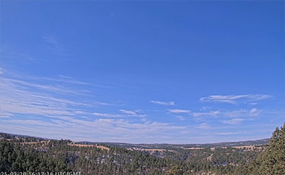
iew of the South Dakota Black Hills from west Rapid City
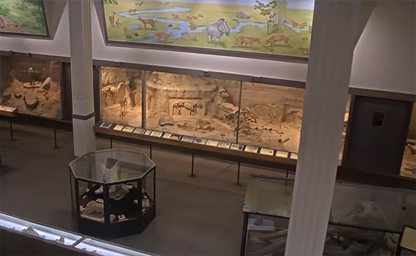
Situated inside SDSM&T's Museum of Geology in Rapid City
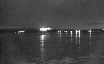
It is the county seat of Lake County and is home to Dakota State University
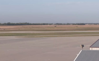
A year-round destination for some of the state's most treasured events
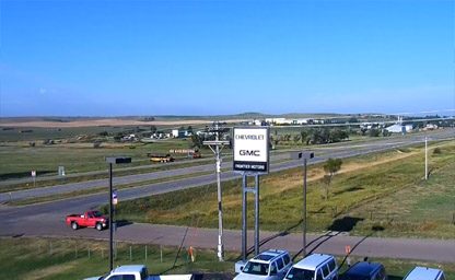
Along the Oyate Trail at the crossroads of SD Highway 44 and US Highways 18 and 183
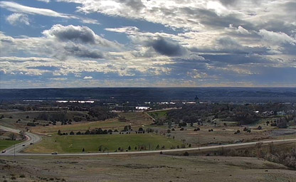
The capital city of the U.S. state of South Dakota
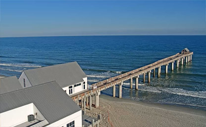
Sometimes known as Garden City Beach
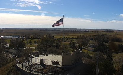
Just southwest of the Missouri River
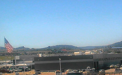
Winds through the northern part of the scenic Black Hills
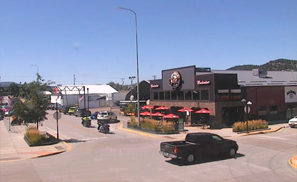
A beautiful South Dakota town settled where the prairies of the east meet the Black Hills
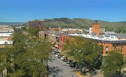
Lies east of Black Hills National Forest
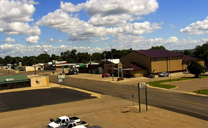
Is Lake Oahe's finest destination
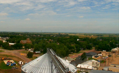
Situated along Highway 46/50 in east river south central South Dakota
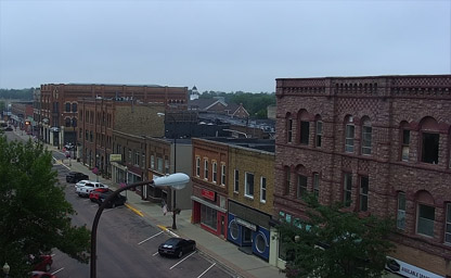
A beautiful city in and the county seat of Codington County

Located from the Sanford USD Medical Center
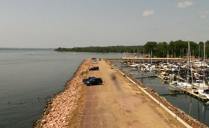
Situated at the largest marina on the Missouri River

The Black Hills and Badlands is a thrilling experience with fantastic scenery

America's first motorcycle company
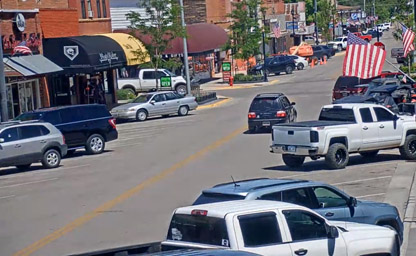
Across the street from the new Harley Davidson Rally Point
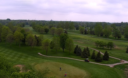
Overlooking the entire course from the clubhouse

At Minnehaha Country Club to enjoy great golf
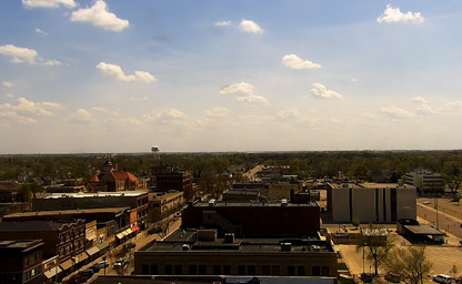
Situated approximately 125 miles northeast of Pierre
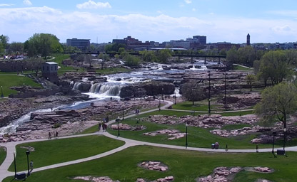
Situated just north of downtown, along the Big Sioux River
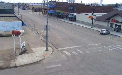
South Dakota and the surrounding area
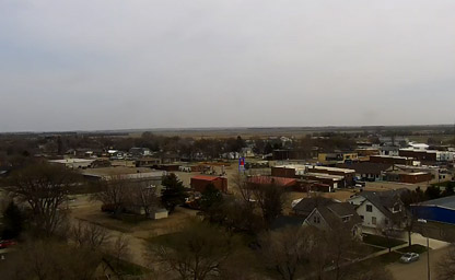
Located in central South Dakota
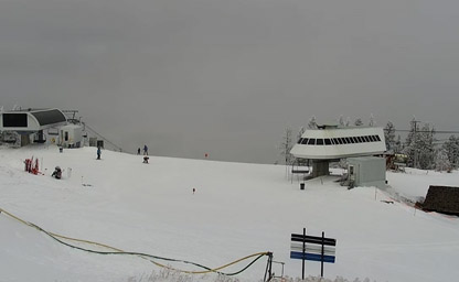
One is a great place to ski and snowboard, the others are nice hikes in the summer
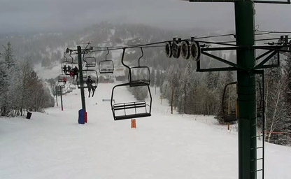
Terry Peak is ready for a great holiday week of skiing and riding the slopes
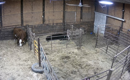
Indoor Calving Barns
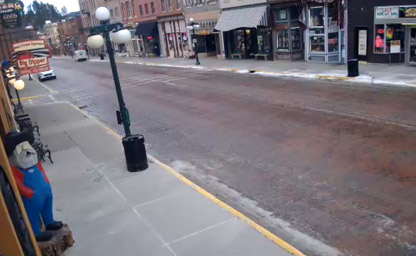
One of the great gold rushes in America
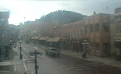
Easily accessible via major interstates and U.S. highways

The World’s Only Corn Palace is Mitchell’s premier tourist attraction
Live cams from beautiful South Dakota bring the breathtaking landscapes, historic sites, and vibrant culture of the Mount Rushmore State right to your screen. From the rugged beauty of the Badlands to the iconic faces of Mount Rushmore, these webcams capture the spirit and charm of South Dakota.
Nature lovers can enjoy live views from places like Custer State Park, the Black Hills, and Badlands National Park. These cameras showcase dramatic rock formations, rolling prairies, and abundant wildlife, including bison and prairie dogs.
For a touch of history and heritage, webcams near landmarks such as Mount Rushmore and Deadwood offer a glimpse into South Dakota’s storied past, from the Old West to patriotic monuments that celebrate American history.
Urban cameras in cities like Sioux Falls and Rapid City provide a look at South Dakota’s thriving communities, featuring lively downtowns, local events, and unique cultural attractions.
Seasonal changes add even more beauty to South Dakota’s live streams. Watch colorful wildflowers bloom in the spring, warm summer sunsets over the plains, golden foliage in the fall, and snow-covered landscapes in winter.
Whether you’re planning your next adventure, exploring South Dakota’s iconic destinations, or simply admiring its rugged beauty from afar, streaming video cameras offer an exciting way to experience the state’s wide-open spaces and historic charm.
South Dakota's history is deeply rooted in the cultural heritage of Native American tribes, the transformative effects of westward expansion, and its modern significance as a symbol of the American frontier. For thousands of years before European settlers arrived, the region was home to Indigenous peoples, including the Lakota Sioux, Dakota Sioux, and Nakota Sioux tribes. These tribes are part of the Great Sioux Nation, whose traditions, culture, and spiritual practices are deeply tied to the land. Sacred sites like Bear Butte and the Black Hills hold immense cultural and religious importance to these communities, underscoring their lasting connection to South Dakota.
European exploration of the area began in the 18th century when French fur trappers ventured into the northern Great Plains. The Louisiana Purchase of 1803 brought the territory under U.S. control, and shortly afterward, the famed Lewis and Clark Expedition traversed the region, documenting its geography and engaging with Native American tribes along the Missouri River. This marked the beginning of increased American interest in the area.
The mid-19th century brought significant change as pioneers, miners, and settlers moved into the Dakota Territory, established in 1861. The discovery of gold in the Black Hills in the 1870s, particularly after General George Armstrong Custer’s expedition, led to a rush of prospectors, sparking tensions and violent clashes with the Lakota Sioux. The Black Hills were promised to the Sioux in the Treaty of Fort Laramie in 1868, but the U.S. government violated this treaty after gold was discovered. The Battle of Little Bighorn in 1876 and the tragic Wounded Knee Massacre in 1890 remain pivotal events in this turbulent period, symbolizing the struggle of Native American tribes to defend their land and way of life.
South Dakota became the 40th state of the Union on November 2, 1889, alongside North Dakota. During this time, agriculture became the backbone of the state's economy, with settlers establishing farms and ranches on the vast plains. The Homestead Act of 1862 encouraged further settlement, offering land to those willing to cultivate it. However, the harsh winters, frequent droughts, and isolation made life challenging for early settlers.
In the 20th century, South Dakota’s identity was further shaped by major developments like the construction of Mount Rushmore, which began in 1927 under the direction of sculptor Gutzon Borglum. This iconic monument, featuring the faces of four U.S. presidents, became a symbol of American ideals and a major tourist attraction. The mid-century also saw the development of major dams along the Missouri River, including Oahe Dam and Fort Randall Dam, which brought hydroelectric power, irrigation, and flood control to the region.
Today, South Dakota’s history is preserved and celebrated through its many cultural sites, such as the Crazy Horse Memorial, which honors the Native American leader, and the state’s numerous museums, including the South Dakota State Historical Society in Pierre. The state continues to be a place where the rich histories of Indigenous peoples and pioneering settlers intersect.
South Dakota experiences a continental climate characterized by distinct seasons, with cold winters, warm summers, and significant variations in weather conditions across its regions. Its climate is heavily influenced by its location in the Great Plains, which exposes it to both Arctic air masses from the north and warm, moist air from the Gulf of Mexico.
Winters in South Dakota are cold and snowy, particularly in the eastern and northern parts of the state. Temperatures often drop well below freezing, with average lows ranging from 10°F to 20°F (-12°C to -6°C). Blizzards and strong winds are common during the winter months, especially on the open plains. The Black Hills region, due to its higher elevation, often receives heavier snowfall, making it a popular destination for winter sports like skiing and snowmobiling.
Summers, in contrast, are warm and can occasionally be hot, with average high temperatures ranging from 80°F to 90°F (27°C to 32°C). The eastern part of the state, which lies within the humid continental climate zone, tends to experience more humidity during the summer, while the western part, which is semi-arid, is drier. Thunderstorms are frequent in the summer, particularly in the late afternoon and evening. These storms can be severe, bringing hail, strong winds, and even tornadoes, especially in the eastern portion of the state, which is part of Tornado Alley.
Spring and fall are transitional seasons that bring milder temperatures and a mix of weather patterns. Spring often sees the melting of snow and the onset of planting season for farmers, while fall is marked by cooler temperatures and the harvesting of crops. Both seasons provide excellent opportunities to explore South Dakota’s natural landscapes, from the vibrant grasslands of the prairie to the colorful foliage of the Black Hills.
South Dakota’s geography also plays a role in its climate. The Black Hills create a microclimate, with cooler temperatures and higher precipitation levels compared to the surrounding plains. This area also sees occasional temperature inversions during winter, where warmer air is trapped above colder air near the surface.
South Dakota’s geography is as varied as its climate, encompassing a wide range of landscapes that reflect its position in the heart of the United States. The state is divided into three major regions: the eastern plains, the western plains, and the Black Hills.
The eastern part of South Dakota is dominated by the fertile Missouri River Valley and the glacially-formed plains. This region is characterized by gently rolling hills, expansive farmlands, and numerous small lakes formed by ancient glaciers. The Big Sioux River flows through this area, providing water for agriculture and communities. Cities like Sioux Falls, the state’s largest urban center, thrive in this fertile region, which is known for its corn, soybeans, and livestock production.
The western plains of South Dakota are drier and more rugged, with vast grasslands that stretch to the horizon. This region includes the Badlands, a strikingly eroded landscape of sharp ridges, deep canyons, and colorful rock formations. Badlands National Park showcases this unique terrain and is home to a variety of wildlife, including bison, prairie dogs, and bighorn sheep. The western plains are also home to several Native American reservations, including the Pine Ridge Reservation, one of the largest in the country.
The Black Hills, located in the southwestern corner of the state, are a forested mountain range that rises dramatically from the surrounding plains. This region includes some of South Dakota’s most famous landmarks, such as Mount Rushmore, the Crazy Horse Memorial, and Custer State Park. The Black Hills are rich in natural beauty, with pine-covered peaks, clear streams, and abundant wildlife. Harney Peak, also known as Black Elk Peak, is the highest point in South Dakota and offers breathtaking views of the surrounding landscape.
The Missouri River is a defining feature of South Dakota’s geography, bisecting the state from north to south. This mighty river has shaped the state’s history, economy, and recreation, serving as a vital waterway for transportation and trade. Today, the river and its reservoirs, such as Lake Oahe and Lake Sharpe, provide opportunities for fishing, boating, and wildlife observation.
Tip: When visiting South Dakota, consider exploring the Spearfish Canyon Scenic Byway in the Black Hills. This stunning drive takes you through towering limestone cliffs, lush forests, and cascading waterfalls, offering a glimpse of the state’s natural splendor.
Interesting Fact: South Dakota is home to the world’s largest mountain carving, the Crazy Horse Memorial. While still a work in progress, the monument honors the Lakota leader Crazy Horse and stands as a symbol of Native American heritage and resilience. Once completed, it will be the largest sculpture of its kind in the world.