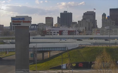
Downtown Dayton
The central business district of Dayton

The central business district of Dayton

Office address: 312 Walnut St # 1110, Cincinnati, OH 45202
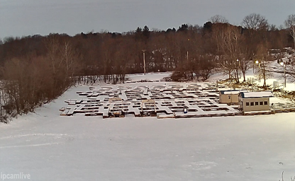
Nicknamed the "Canoe Capital of Ohio" for the many canoe liveries along the Mohican River
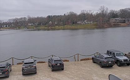
Simply soaking in the view, we’re thrilled to share the magic of Twin Lakes with you
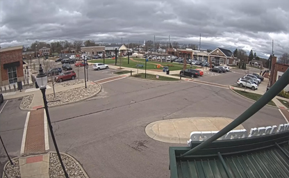
Located on the northwest corner of the intersection of Ohio 741 and Ohio 73
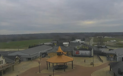
A one of a kind celebration of terror
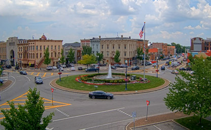
The Troy Public Square is a historic district, the junction of Main and Market Streets
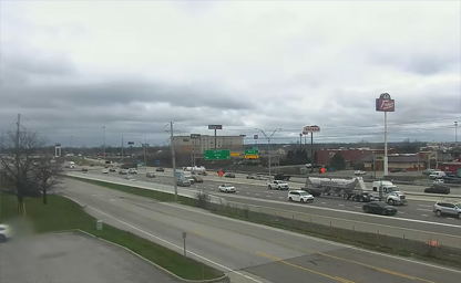
Less than four miles from Dayton International Airport
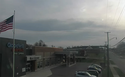
It is part of the Dayton metropolitan area
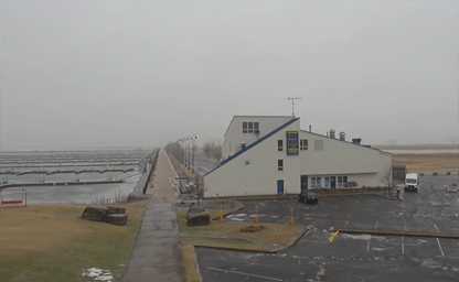
Known for it's dramatic sunsets and historical lighthouse
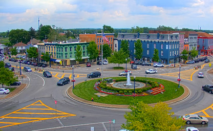
View the public square from one or all quadrants at your leisure

A United States Highway that runs southeast-northwest for approximately 412 miles
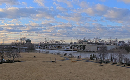
Enjoy a view of Black River Landing located in Lorain
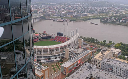
Situated on the winding banks of the Ohio River in downtown Cincinnati

A picturesque rural setting in the northwestern part of the state
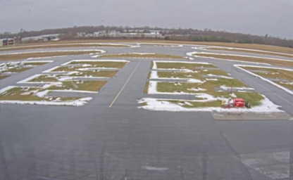
Looking for a fun destination for a weekend flight? Put Sporty’s on your list

A large orange structure that sits on top of an intake tunnel

It is part of the Cleveland metropolitan area
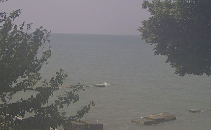
On the southern shore of Lake Erie about some miles west of Cleveland

It is part of the Cleveland metropolitan area
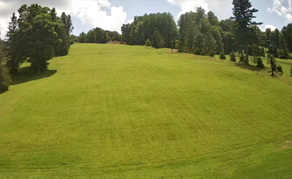
A city in and the county seat of Richland County
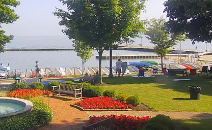
A historic community in northwest Ohio

One of the twelve townships of Ottawa County
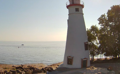
The oldest lighthouse in continuous operation on the American side of the Great Lakes
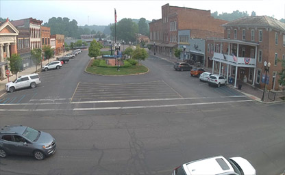
Situated about 60 miles southeast of Columbus
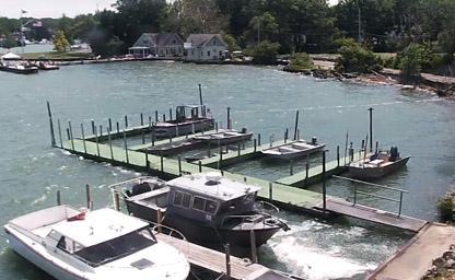
An Ohio village on South Bass Island in Lake Erie

Minutes from Cleveland's North Coast Harbor, Burke Lakefront Airport and the Cleveland Browns Stadium
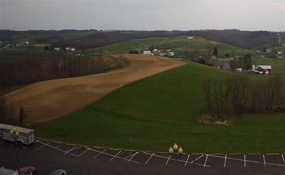
Centrally situated in Ohio's Amish Country
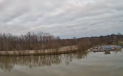
A beautiful village in Ashland County, Ohio
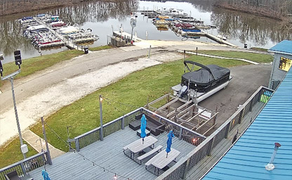
A beautiful city in and the county seat of Richland County
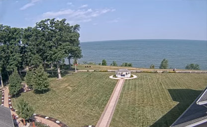
A beautiful village in Ashtabula County

Alpine Valley Weather Forecast
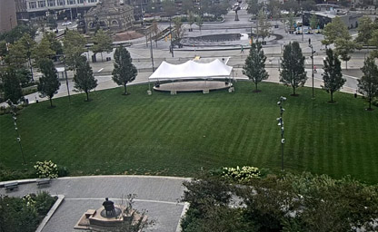
A historic Presbyterian church at Public Square situated in downtown Cleveland
IpLiveCams provide a real-time look at the Buckeye State’s diverse landscapes, vibrant cities, and rich cultural heritage. From rolling farmlands to bustling urban centers, these cameras capture the charm and energy of Ohio.
Nature enthusiasts can explore live feeds from scenic locations such as Hocking Hills, Lake Erie, and Cuyahoga Valley National Park. These webcams showcase stunning waterfalls, serene forests, and expansive lakeshores that highlight Ohio’s natural beauty.
Webcams in cities like Columbus, Cleveland, and Cincinnati offer views of dynamic downtowns, cultural landmarks, and lively events. Iconic locations like the Rock and Roll Hall of Fame, Cincinnati’s Fountain Square, and the Ohio Statehouse come to life through these live streams.
For a glimpse of Ohio’s outdoor recreation, live cameras near the Lake Erie Islands and along the Ohio River provide stunning views of waterfront activities, boating, and picturesque sunsets.
Seasonal changes bring unique beauty to Ohio’s live webcams. Experience colorful fall foliage, snowy winter scenes, blooming gardens in spring, and sunny summer days filled with outdoor fun.
Whether you’re planning a visit, exploring Ohio’s attractions, or simply enjoying its natural and cultural offerings from afar, live webcams provide an engaging way to connect with the state’s vibrant spirit and scenic landscapes.
Ohio’s history is a rich narrative of Indigenous heritage, European exploration, and American industrial development. For thousands of years, Native American tribes, including the Shawnee, Miami, Wyandot, and Delaware, inhabited the region. These tribes built sophisticated societies, evident in the remnants of their earthworks, such as those at the Hopewell Culture National Historical Park. The Great Serpent Mound, one of the largest and most mysterious effigy mounds in the world, stands as a testament to their ingenuity and spiritual beliefs.
European exploration began in the 17th century when French traders and missionaries ventured into the Ohio River Valley, establishing trade with Indigenous peoples. The region became a focal point of colonial conflict during the 18th century, particularly during the French and Indian War, as France and Britain vied for control. Following Britain’s victory, the Ohio territory was incorporated into the British Empire, only to be contested again during the American Revolution.
After the war, Ohio became part of the Northwest Territory, established in 1787 under the Northwest Ordinance. This landmark legislation laid the groundwork for statehood and prohibited slavery in the territory, a significant step in shaping the region's identity. Ohio achieved statehood on March 1, 1803, becoming the 17th state in the Union. Its location as a gateway between the eastern United States and the frontier west made it a vital crossroads for commerce and migration.
Ohio played a pivotal role in the 19th century, contributing significantly to the abolitionist movement and serving as a key hub for the Underground Railroad. The state’s industrial prowess emerged during this period, with cities like Cleveland, Cincinnati, and Dayton becoming centers for manufacturing and innovation. The Civil War saw Ohio provide critical support to the Union, including prominent leaders like Ulysses S. Grant and William Tecumseh Sherman.
In the 20th century, Ohio solidified its reputation as the "Heart of It All," a nickname reflecting its centrality in American culture, politics, and industry. It became a leader in automotive production, aerospace innovation, and higher education. Today, Ohio's history is preserved in its many museums, historic sites, and cultural landmarks, offering visitors a glimpse into its transformative journey.
Ohio experiences a humid continental climate, characterized by four distinct seasons that shape life and activities across the state. Winters are cold and often snowy, especially in the northern regions near Lake Erie. Average temperatures in January range from 20°F to 30°F (-6°C to -1°C), with occasional lake-effect snowstorms that can blanket areas like Cleveland and Akron in heavy snow.
Spring brings a welcome thaw, with blooming wildflowers and warming temperatures that range from 50°F to 70°F (10°C to 21°C) by May. However, this season is also marked by increased rainfall and occasional thunderstorms, as Ohio is situated in a zone prone to severe weather. Tornadoes, though less common than in states farther west, are a seasonal concern.
Summers in Ohio are warm and humid, with average highs ranging from 80°F to 85°F (27°C to 29°C). The southern regions, including Cincinnati and Columbus, tend to be slightly warmer than the northern parts. Summer is a vibrant time in Ohio, with outdoor festivals, state parks, and Lake Erie beaches drawing residents and visitors alike.
Autumn is one of the most picturesque times to visit Ohio, as the state's forests transform into a canvas of red, orange, and yellow hues. The crisp, mild weather, with average temperatures between 50°F and 70°F (10°C to 21°C), makes it ideal for hiking, apple picking, and exploring scenic routes such as the Hocking Hills region. The climate’s diversity ensures year-round activities for visitors, whether they're skiing in winter or kayaking in summer.
Ohio is situated in the Midwestern United States and spans an area of approximately 44,825 square miles. Its geography is as diverse as its history, with landscapes ranging from fertile plains to rolling hills and extensive waterways. Bordered by Lake Erie to the north and the Ohio River to the south, the state boasts significant natural resources and strategic geographic advantages.
The northern part of Ohio is dominated by the Great Lakes Plain, a flat and fertile region shaped by glacial activity. Lake Erie, one of the five Great Lakes, not only provides a vital waterway for transportation and trade but also supports a thriving fishing industry and recreational opportunities. The lake’s shores are dotted with charming towns, beaches, and islands, including Put-in-Bay and Kelleys Island, which attract tourists throughout the year.
Central Ohio features the Till Plains, an agricultural heartland known for its rich soil and gently rolling terrain. This region supports diverse crops, including corn, soybeans, and wheat, making Ohio one of the nation’s leading agricultural states. The area around Columbus, the state capital, blends urban development with green spaces, offering a balance of city and countryside.
The southern and southeastern parts of Ohio are characterized by the Appalachian Plateau, a region of rugged hills, deep valleys, and dense forests. This area is rich in natural beauty and resources, including coal deposits and timber. The Hocking Hills region, with its waterfalls, caves, and hiking trails, is a particularly popular destination for outdoor enthusiasts.
The Ohio River, which forms the state’s southern border, has historically served as a vital transportation route and a natural boundary. The river connects Ohio to states like Kentucky and West Virginia and played a crucial role in trade, migration, and military strategy during the state’s formative years. Major cities like Cincinnati and Marietta developed along its banks, leveraging its resources and connectivity.
Ohio's highest point, Campbell Hill, rises to 1,549 feet above sea level in the western part of the state, while its lowest point, at 455 feet, lies at the confluence of the Ohio and Great Miami Rivers. The state’s geographic diversity, combined with its central location, has made it a hub for industry, agriculture, and transportation.
Tip: For a memorable experience, plan a visit to the Hocking Hills region in the fall. The vibrant foliage and unique geological formations make it one of Ohio’s most stunning natural attractions.
Interesting Fact: Ohio is often called the "Mother of Presidents" because it is the birthplace of eight U.S. presidents, including William Henry Harrison, Ulysses S. Grant, and William Howard Taft. This legacy highlights the state’s significant influence on American politics and leadership.