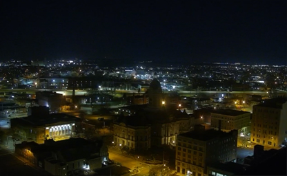
Evansville
The county seat of Vanderburgh County

The county seat of Vanderburgh County
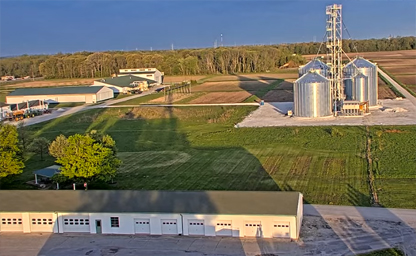
It is strategically located 7 miles northwest of campus
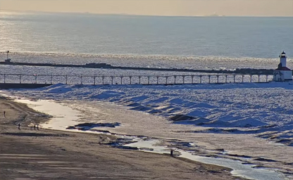
Located on the shores of Lake Michigan in Michigan City
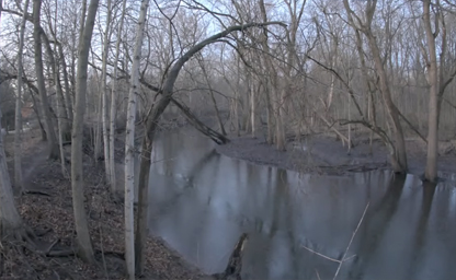
Environmental Programs at Rieth are run by the Environmental Resilience Department
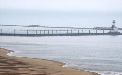
Nestled on the south shore of Lake Michigan in Michigan City
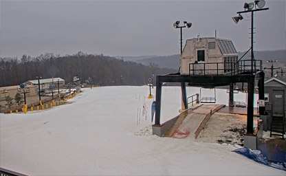
An alpine ski resort located in Paoli Township
Goose Pond FWA features a new office and Visitor’s Center with a panoramic observation deck
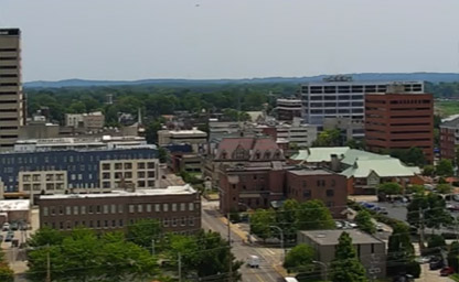
The most vibrant urban district in the region
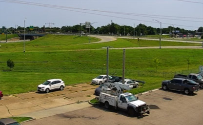
A vibrant city located in the Ohio River Valley

Catholic Live Stream from the Discalced Carmelite Fathers located in Munster Indiana

A borough in Ohio Township, Warrick County

A small park on the corner of Main and Green streets in downtown Crawfordsville
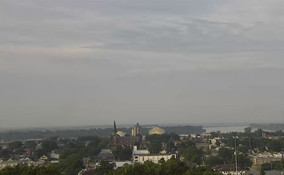
Located on Mount Auburn Road in Evansville

The county seat of Vanderburgh County, Indiana
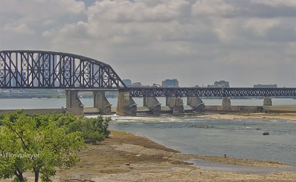
It is situated on the banks of the Ohio River at Clarksville
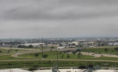
Between that highway and U.S. Highway 41 (US 41) in Evansville

The most vibrant urban district in the region
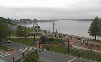
Along the banks of the Ohio River

Located along the Ohio River, opposite Louisville
An unincorporated community in Wood Township
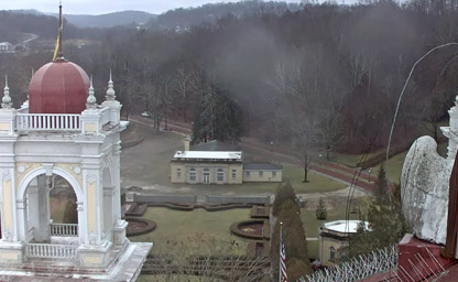
Indiana and neighboring towns of Orleans and Paoli
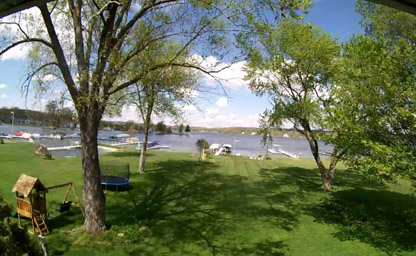
Steuben County, situated in northeastern Indiana
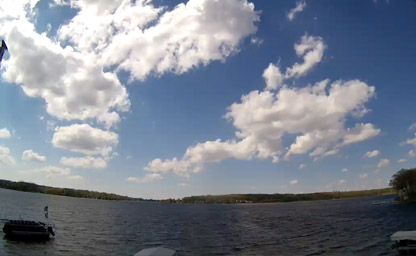
Situated in the northeast corner of the state of Indiana
One of Indiana's largest dealers on Indiana's largest natural lake
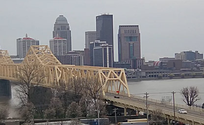
Located along the beautiful Ohio River
Indiana, affectionately known as the Crossroads of America, offers a rich blend of scenic landscapes, bustling cities, and cultural landmarks. Live tourist streaming webcams provide an unparalleled way to experience this state’s charm from anywhere in the world. Whether capturing the serene shores of Lake Michigan, the vibrant cityscapes of Indianapolis, or the tranquil beauty of Amish country, these webcams connect viewers with the essence of Indiana in real-time.
Indiana’s cities, led by its capital Indianapolis, serve as hubs of activity and culture. Live webcams provide insights into urban life, allowing viewers to explore bustling streets, iconic landmarks, and seasonal events.
Indiana’s diverse natural beauty is on full display through live streaming webcams placed in scenic locations. These cameras capture the serene landscapes that define the state.
Indiana’s rich history and culture are brought to life through webcams located at significant sites. These streams allow virtual tourists to explore the state’s heritage.
Live streaming webcams offer numerous advantages for both locals and visitors:
Indiana’s live streaming webcams rely on cutting-edge technology to deliver seamless viewing experiences:
Indiana upholds strict privacy guidelines to ensure that live streaming webcams respect individual rights. Cameras are strategically placed to avoid sensitive areas, and operators prioritize transparency to maintain public trust.
The future of live streaming webcams in Indiana looks promising, with innovations like drone-based streaming and AI-enhanced monitoring on the horizon. These advancements will provide even more dynamic and immersive experiences, further solidifying Indiana’s position as a leader in leveraging technology for tourism and community engagement.
Indiana, known as the Hoosier State, has a history as rich and diverse as its landscapes. Long before European settlers arrived, the region was inhabited by Native American tribes such as the Miami, Shawnee, Potawatomi, and Delaware. These tribes thrived on Indiana’s fertile lands, utilizing its rivers for transportation and sustenance. The Miami Confederacy played a significant role in resisting early European encroachments, with leaders like Little Turtle earning historical recognition.
The arrival of French explorers in the 17th century marked the beginning of European influence in Indiana. The French established trade routes and forts, including Fort Ouiatenon near modern-day Lafayette, as part of their fur trading operations. However, control of the region shifted with the French and Indian War, leading to British dominance in the mid-18th century. The British faced strong resistance from Native Americans, exemplified by events like Pontiac’s Rebellion.
Indiana’s role in the American Revolutionary War further cemented its importance. The capture of Fort Sackville by George Rogers Clark in 1779 was a pivotal moment in securing the Northwest Territory for the fledgling United States. Following the war, Indiana became part of the Northwest Territory established under the Northwest Ordinance of 1787, which set the stage for westward expansion and statehood.
By the early 19th century, settlers began pouring into Indiana, drawn by the promise of fertile farmland and abundant resources. This rapid influx led to conflicts with Native American tribes, most notably the Battle of Tippecanoe in 1811. The battle, fought between American forces under William Henry Harrison and Native American warriors led by Tecumseh’s brother, Tenskwatawa (the Prophet), was a significant prelude to the War of 1812. Ultimately, Native American resistance was quelled, and their lands were opened to settlers.
Indiana achieved statehood on December 11, 1816, becoming the 19th state of the Union. The state’s early economy was driven by agriculture, with settlers cultivating crops like corn and wheat. As transportation networks expanded, particularly with the construction of canals and railroads, Indiana’s economy diversified, incorporating manufacturing and trade. The city of Indianapolis, established as the state capital in 1825, became a central hub for commerce and governance.
The Civil War was a defining moment for Indiana, which played a crucial role as a Union state. Indiana provided significant numbers of troops and resources, and its location made it a strategic area for logistics and transport. Post-war, the state entered a period of industrialization, with cities like Gary and South Bend becoming centers for steel production and automobile manufacturing.
During the 20th century, Indiana continued to grow, balancing its industrial prowess with its agricultural heritage. The state became a leader in education, healthcare, and sports, with iconic institutions like Notre Dame University and the Indianapolis 500 cementing its reputation. Today, Indiana stands as a testament to the resilience and ingenuity of its people, blending a deep respect for its history with a forward-looking perspective.
Indiana’s climate is classified as humid continental, characterized by four distinct seasons that bring a variety of weather patterns throughout the year. The state experiences cold winters, warm summers, and transitional spring and autumn periods, making it a region of diverse meteorological conditions.
Winter in Indiana typically spans from December to February, with average temperatures ranging from 20°F (-6°C) to 40°F (4°C). Snowfall is common, especially in the northern parts of the state near Lake Michigan. The lake effect snow phenomenon contributes to heavier snowfall in cities like South Bend and Michigan City. Despite the cold, winter also brings opportunities for activities like ice skating and snowshoeing.
Spring, from March to May, is a season of renewal in Indiana. Temperatures gradually rise, ranging from 50°F (10°C) to 70°F (21°C). Spring is also the state’s wettest season, with rainfall nurturing the agricultural lands that Indiana is famous for. However, this period is also marked by the occasional threat of severe weather, including thunderstorms and tornadoes, particularly in the southern and central regions.
Summers in Indiana, lasting from June to August, are typically warm and humid, with average temperatures ranging from 70°F (21°C) to 90°F (32°C). The state’s agricultural regions thrive during this time, with fields of corn and soybeans flourishing under the summer sun. The warm weather also makes it an ideal time for outdoor activities, from boating on Indiana’s lakes to attending summer festivals and fairs. Heatwaves are not uncommon, particularly in the southern parts of the state.
Autumn, from September to November, is arguably one of the most beautiful seasons in Indiana. The state’s forests transform into a kaleidoscope of red, orange, and yellow hues, drawing visitors to its many parks and nature reserves. Temperatures range from 50°F (10°C) to 70°F (21°C), and the crisp, clear days make it a favorite season for hiking and exploring.
Indiana’s climate is heavily influenced by its geography, with the northern regions experiencing cooler temperatures due to their proximity to Lake Michigan, while the southern parts of the state enjoy milder winters and warmer summers. The state’s central location in the Midwest also exposes it to a mix of weather systems, from cold Arctic air masses in winter to warm, moist air from the Gulf of Mexico in summer.
Indiana’s geography is a blend of flat plains, rolling hills, and picturesque water bodies, offering a diverse landscape that caters to both urban and rural lifestyles. Covering an area of 36,418 square miles, Indiana is bordered by Michigan to the north, Ohio to the east, Kentucky to the south, and Illinois to the west. The state’s position in the Midwest makes it a key crossroads for transportation and commerce.
The northern part of Indiana is dominated by the Lake Michigan shoreline, which provides stunning beaches, dunes, and recreational areas. The Indiana Dunes National Park is a highlight, offering 15 miles of pristine shoreline and diverse ecosystems that include forests, wetlands, and prairies. This area is a haven for birdwatchers and outdoor enthusiasts.
Central Indiana is characterized by the flat terrain of the Tipton Till Plain, an area shaped by glacial activity during the last Ice Age. This region is the agricultural heartland of the state, with vast fields of corn and soybeans stretching as far as the eye can see. Indianapolis, located in the central region, serves as the state capital and is a hub of culture, business, and sports.
Southern Indiana offers a more varied topography, with rolling hills, caves, and rivers. The Hoosier National Forest, located in this region, is a prime destination for hiking, camping, and wildlife observation. The Ohio River, forming Indiana’s southern border, is a vital waterway that has historically been a source of trade and transportation. Cities like Evansville and New Albany along the river have rich historical and cultural significance.
The Wabash River, running through the state, is another prominent geographical feature. It is not only a symbol of Indiana’s natural beauty but also plays a crucial role in its history and economy. The river’s tributaries and surrounding valleys provide fertile lands that support agriculture and biodiversity.
Indiana’s geological features include limestone quarries, particularly in the southern region near Bloomington. The high-quality Indiana limestone has been used in the construction of iconic buildings like the Empire State Building and the Pentagon. The state’s caves, such as those found in Marengo Cave National Landmark, are also popular attractions for spelunkers and tourists alike.
New Tip: When visiting Indiana, don’t miss the opportunity to explore the covered bridges of Parke County, known as the "Covered Bridge Capital of the World." An interesting fact: Indiana is home to the Indianapolis Motor Speedway, the largest sports venue in the world, capable of holding over 400,000 spectators during events like the Indy 500.