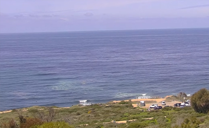
Point Loma
Bordered on the west and south by the Pacific Ocean

Bordered on the west and south by the Pacific Ocean
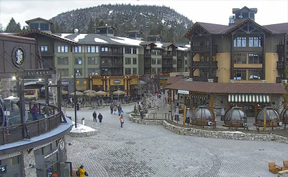
California's best resort for skiing and snowboarding in the winter, and mountain biking in the summer
Part of the iconic San Francisco-Oakland Bay Bridge
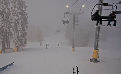
Situated in the Angeles National Forest
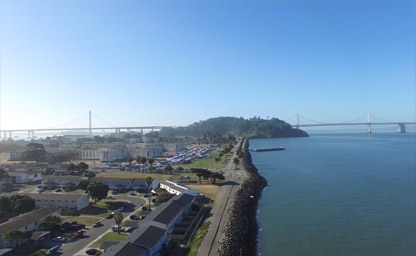
An artificial island in the San Francisco Bay
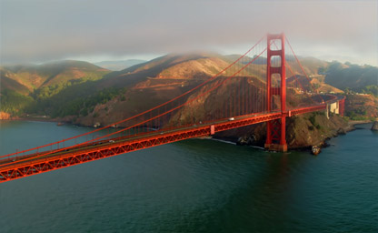
The northern tip of the San Francisco Peninsula
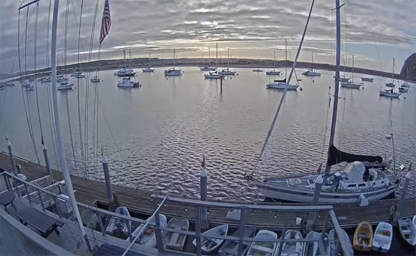
Protected harbor halfway between San Francisco and Los Angeles
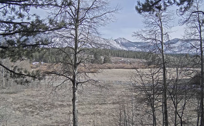
206 acres of beautiful meadow in South Lake Tahoe
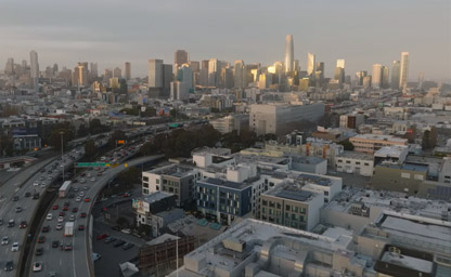
Epic views of the San Francisco skyline
Situated on the coast of the U.S. state of California city
Skid Row is a neighborhood in Downtown Los Angeles
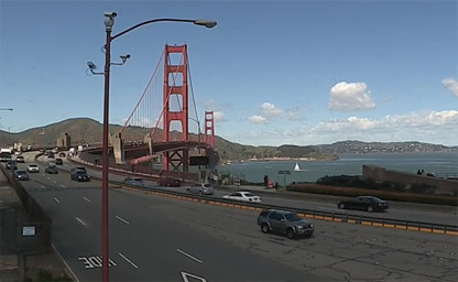
Connecting San Francisco Bay and the Pacific Ocean
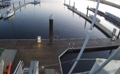
At Encinal Yacht Club, situated in the East Bay region of the Bay Area
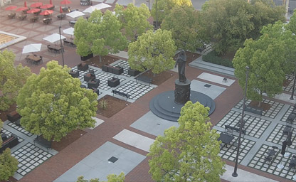
Hecuba Cam - In the central piazza stands a statue that commemorates the women of Troy
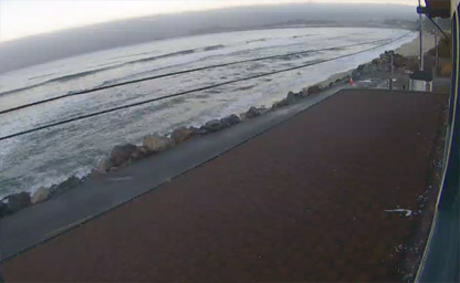
A small and beautiful city on the California coast, south of San Francisco
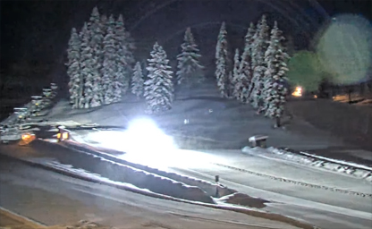
A ski resort loved by families for generations of skiing and riding
The only privately owned beach in Northern California
A border on the shore of San Francisco Bay
A large tidal estuary in the U.S. state of California
A beautiful city on the east side of San Francisco Bay
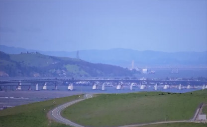
Formerly West Pittsburg and originally Bella Vista
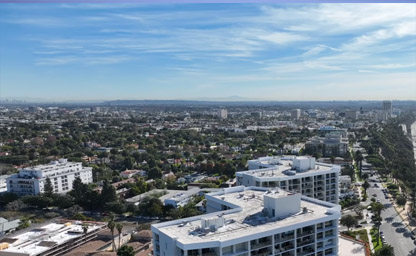
Situated just west of Downtown Los Angeles

Surrounds the beautiful Avalon Bay on the southeast end of Santa Catalina Island
Near the intersection of Green Valley Road and Sullivan Rd, Sebastopol

The largest and busiest international airport on the U.S. West Coast
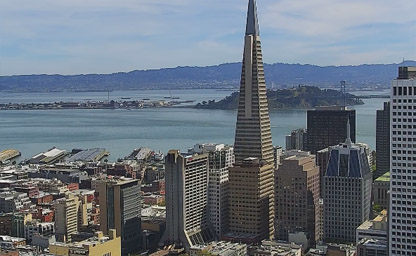
The borders of the City and County of San Francisco
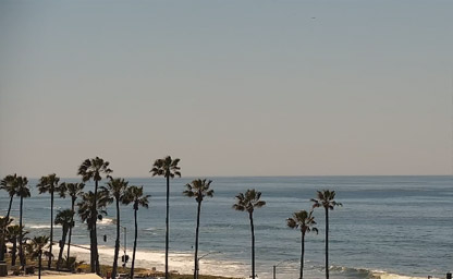
State park system of California, United States, situated near San Diego
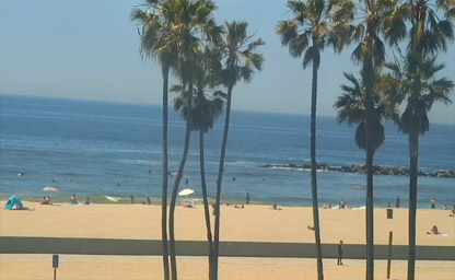
Abutting Santa Monica's south side on the Pacific Coast Highway
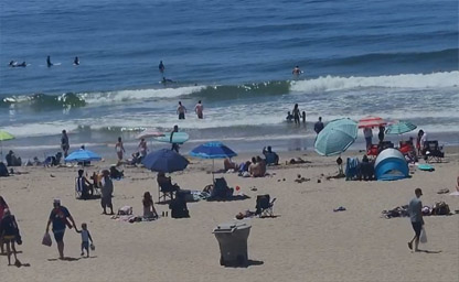
Just steps from the sand and Newport Beach pier
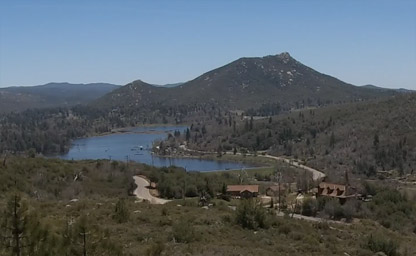
A state park in Southern California
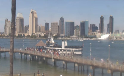
From the Coronado Ferry Landing

Also known as LAX Airport, the main international airport serving the Greater Los Angeles Area
Experience the beauty of the Pacific Ocean

Located at 122 West Linden Court, in Burbank CA
Excellent downtown Santa Barbara location
A city in southern Santa Barbara County
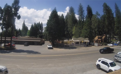
It is part of the Sacramento–Arden-Arcade–Roseville Metropolitan Statistical Area
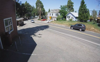
A census-designated place in El Dorado County
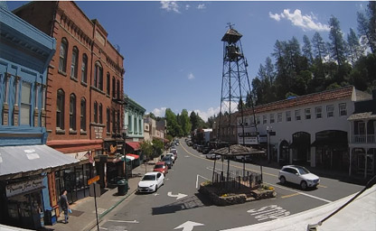
Between Sacramento (the State Capitol) and South Lake Tahoe
An unincorporated community in El Dorado County
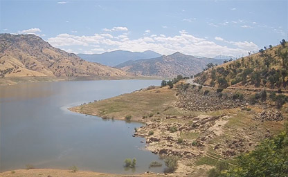
A reservoir near Lemon Cove in Tulare County
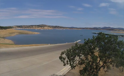
Situated from Fleming Meadows Ramp
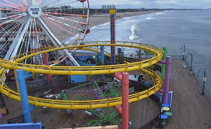
The first concrete pier on the West Coast
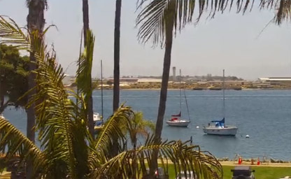
Shelter Island is a neighborhood of Point Loma in San Diego
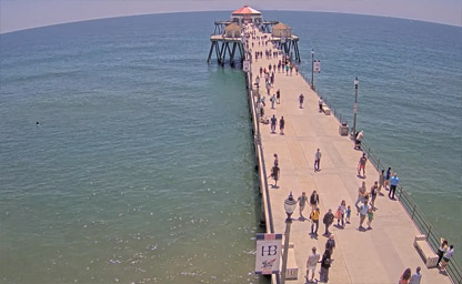
At the west end of Main Street and west of Pacific Coast Highway
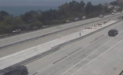
Situated just 6 miles south of Santa Barbara in US-101: Evans Avenue

Surf community in Southern California situated just 10 minutes south of LAX
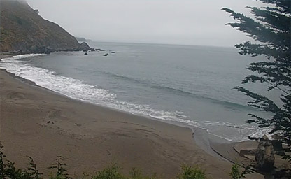
16.5 miles northwest of San Francisco in western Marin County
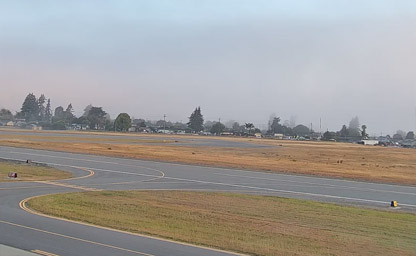
In the Monterey Bay Area of the Central Coast of California
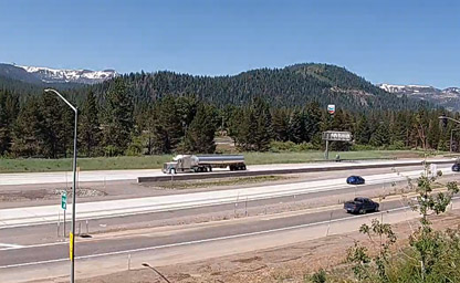
At Interstate 80, an east–west transcontinental freeway that crosses the United States
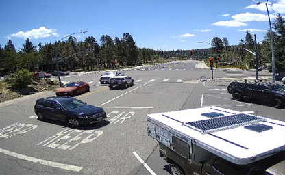
Where stunning Donner Lake views
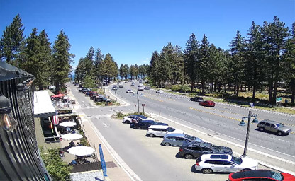
Based on live traffic updates and road conditions
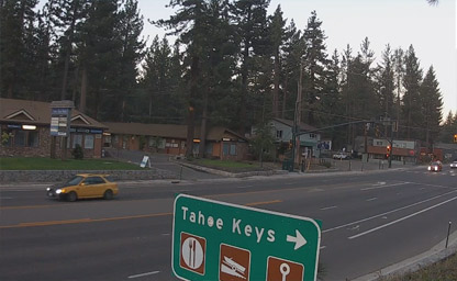
A private waterfront community within the city of South Lake Tahoe

This area is served by the Tahoe-Truckee Unified attendance zone
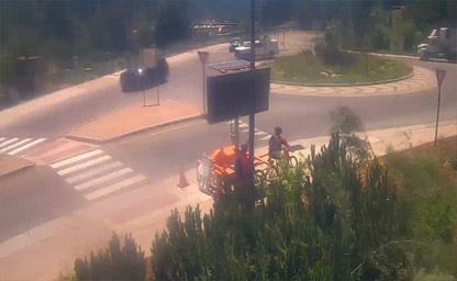
At the roundabout on Donner Pass Rd in historic downtown Truckee
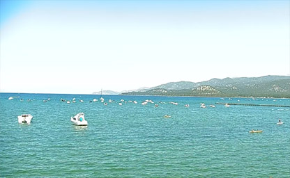
Stunning views of both the lake and the mountains surrounding it
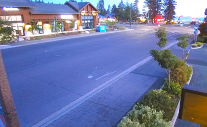
Is located in the heart of town
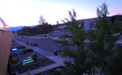
Mountain pass in the northern Sierra Nevada
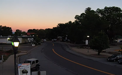
Located near the north extent of State Route 49
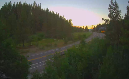
A magical mountain town
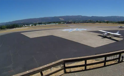
A public airport located one mile south of Ukiah
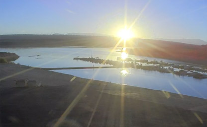
A town in California's Sierra Nevada mountains
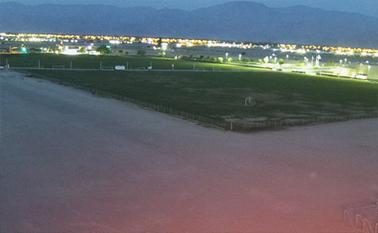
An annual music and arts festival held at the Empire Polo Club in Indio
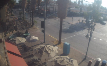
Palm Canyon is one of the areas of great beauty in Western North America
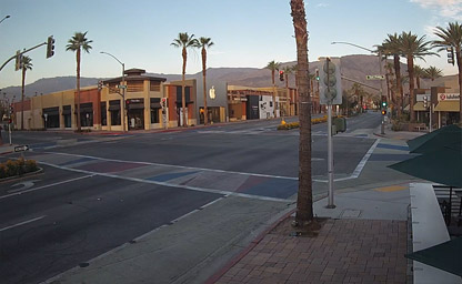
Known for being the Rodeo Drive of the desert
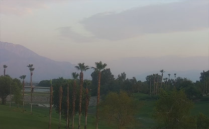
A city in Riverside County, California
Nestled along the southern coastline of Orange County
A census-designated place in Tuolumne County
An unincorporated town in Santa Cruz County
A 2-mile promenade stretching parallel to beautiful Venice Beach
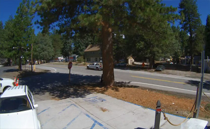
A census-designated place in San Bernardino County
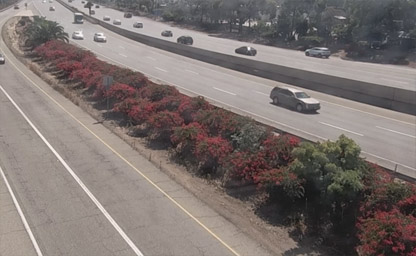
A charming thoroughfare known for its tree-lined sidewalks

A vibrant thoroughfare known for its diverse dining scene, and local cultural flair

Gracefully winds its way through picturesque landscapes
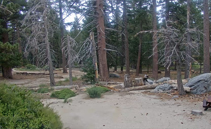
The largest rotating aerial tramway in the world
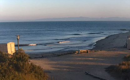
Is the surfing beach at the University of California
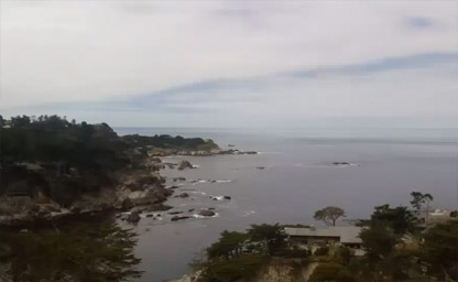
The crown jewel of California’s 280 state parks
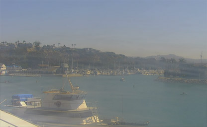
Baby Beach in Dana Point Harbor is near The Ocean Institute
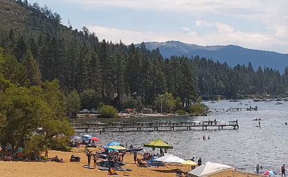
A census-designated place in Placer County
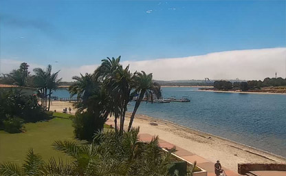
A huge manmade water sports zone
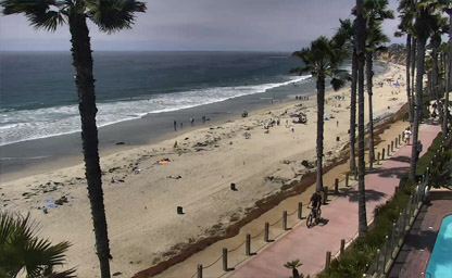
Nice quiet sandy beach near action at Pacific Beach
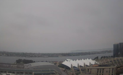
San Diego panoramic views of the harbor, and Petco Park
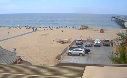
A beachfront city in Los Angeles County
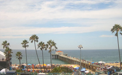
Situated at the end of Manhattan Beach Boulevard
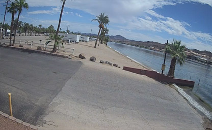
Located directly across from the famous Parker Strip

Scenes from America’s busiest port
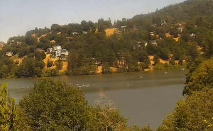
A reservoir in the San Bernardino National Forest
A census-designated place in the San Bernardino Mountains
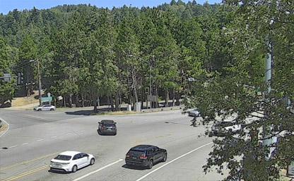
A state highway in the U.S. state of California
Freeway east from the San Fernando Valley to San Bernardino
A town and census-designated place in eastern Plumas County
Nestled in the San Bernardino mountain range
At 5,900 feet, in the heart of the Sierra Nevada Mountain range
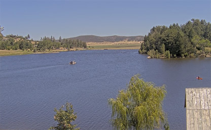
The jewel of the San Diego mountains
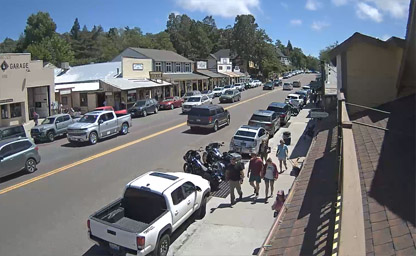
A Premier Mountain Getaway
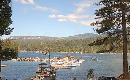
Located in the Sierra Nevada Mountains
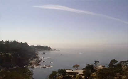
Overlooking the famous Big Sur coastline
A club to support snow sports in Northern California
Views of the bay, city skyline, Alcatraz, Angel Island and Marin
Crosses the United States from San Francisco, California, to Teaneck, New Jersey, in the New York metropolitan area

A state highway in the U.S. state of California that travels in the north–south direction
Is one of the most iconic highways on the West Coast
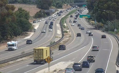
A critical north-south transportation artery that runs along the Pacific Coast
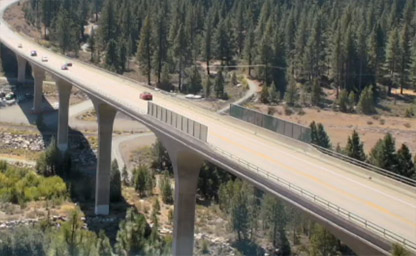
A significant transportation route located in the Sierra Nevada region of California
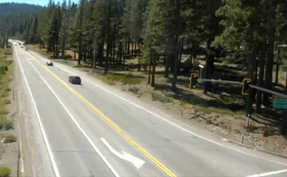
A critical transportation artery that connects the town of Truckee to the northern shore of Lake Tahoe
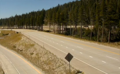
Is one of the most significant highways in the United States
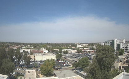
With eight campuses and the largest hospital in Tulare County
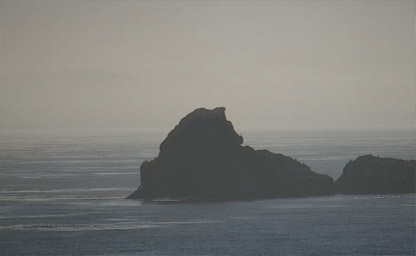
A rugged windswept point of land six miles north of Hearst Castle along California's scenic Highway One
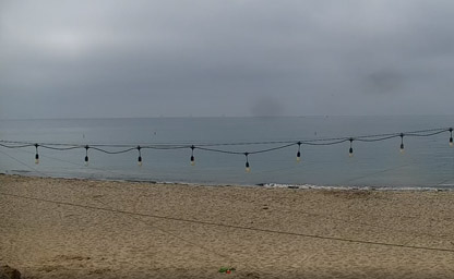
Situated right on Leadbetter beach
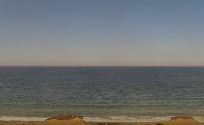
Nestled between the rolling hills of the Carmel Valley
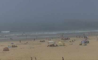
A classic beach town, is located on California’s famous central coast
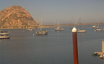
A coastal city in California. It's known for Morro Rock
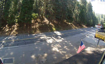
A census-designated place in the San Bernardino Mountains
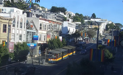
Produced by the San Francisco Bay Times
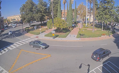
It's small park located right in the middle of the orange circle

Is one of the most iconic highways in the United States
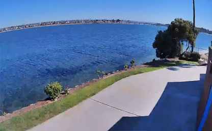
Situated on Mission Bay’s El Carmel Point
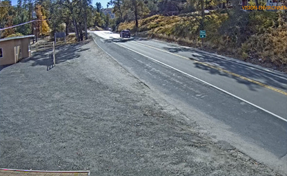
A unique outdoor experience for visitors seeking adventure and relaxation in a rustic setting
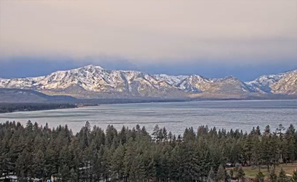
A California resort city on Lake Tahoe
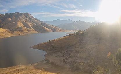
Located at the edge of the San Joaquin Valley
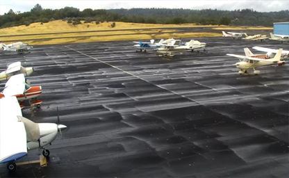
Is also known as Dick Scobee Field
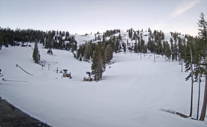
Within the wonderful Stanislaus National Forest in the Central Sierra Mountains
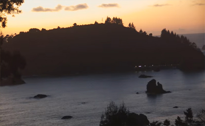
Shows the dramatic coastline of Trinidad Head and the rocks offshore
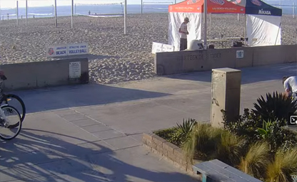
If you want to see this in person, come to our Hermosa Beach location
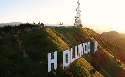
An American landmark and cultural icon overlooking Hollywood
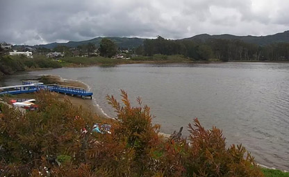
Baywood-Los Osos is an unincorporated community in western San Luis Obispo County
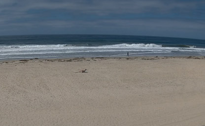
Offering spectacular views of Mission Bay and the Pacific Ocean

Situated at the top of Star Tower at Celebration Plaza from over 200' in the air

Situated at 375 Eleventh Street, near beautiful Harrison Street
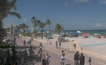
Located just west of beautiful Downtown Los Angeles
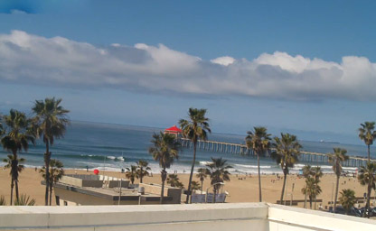
A California city southeast of Los Angeles
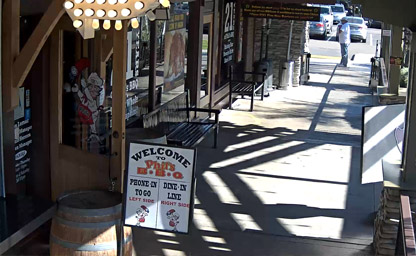
A seaside community within the city of San Diego
A city in the North County region of San Diego County

A beautiful suburban city in San Diego County, California

Among San Francisco Bay’s 400 miles are tucked-away coves, inlets, and other hotspots
A master-planned community in the northern hills of the city of San Diego
A perfect position to experience the best that Carlsbad has to offer
One of the most perfectly located California oceanfront
A SoCal hot spot and home to Knott's Berry Farm
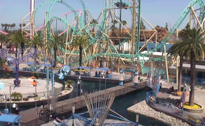
Buena Park, a beautiful city in northern Orange County

A city in San Mateo County, California on the San Francisco Peninsula
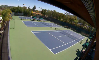
Located in the heart of beautiful Almaden Valley
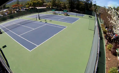
Located in San Jose, California

Webcams are available for viewing during daycare hours from 9am-6pm Monday through Saturday and 10am to 6pm on Sundays

There are several toys and pallets in the pen allowing the active dogs lots of choices

Webcams are available for viewing during daycare hours from 9am-6pm Monday through Saturday and 10am to 6pm on Sundays
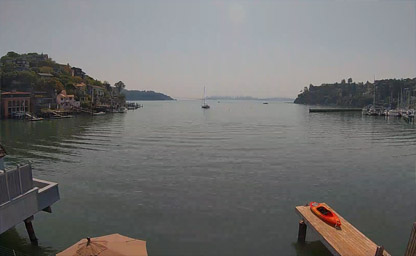
Belvedere Tiburon waterfront in real-time, near the China Cabin
Realtime driving directions to 1850 Embarcadero Rd
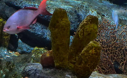
Get an up-close look at the delicate sea nettles in our Open Sea exhibit
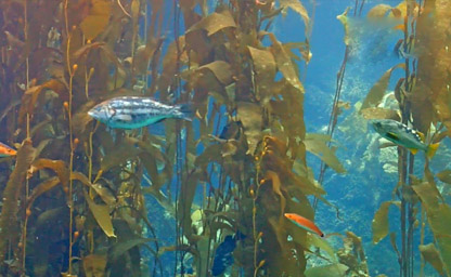
Kelp Forest Exhibit at the Monterey Bay Aquarium

Open Sea Exhibit at the Monterey Bay Aquarium
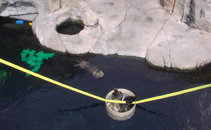
Enjoy the antics of rescued southern sea otters as they romp
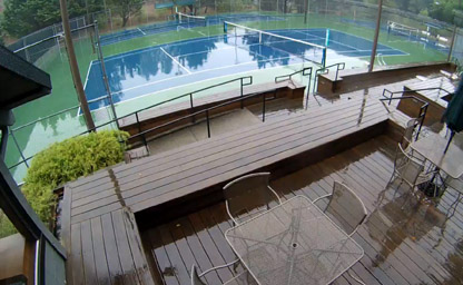
Situated about some miles north of San Francisco
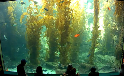
Located in beautiful La Jolla, San Diego
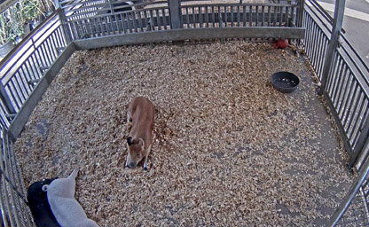
Located from Centennial Farm, a three-acre working farm at OC Fair & Event Center
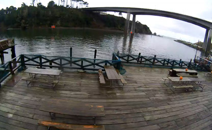
Located on the Historic Noyo Harbor here in Fort Bragg
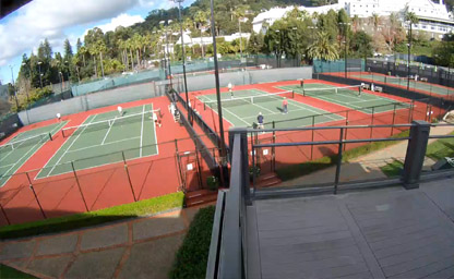
Located on the east side of San Francisco Bay
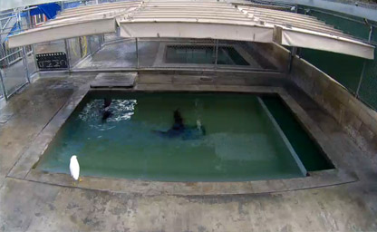
Patients in “Pool D” are in intermediate care. These animals are now foraging for fish on their own and have entered the general patient population
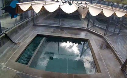
Check out some of our patients enjoying the Laguna Beach sunshine
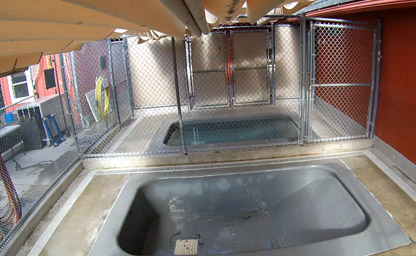
Patients in the “Side Pools” have gained the strength to transition out of the intensive care unit and now begin “fish school” and compete for fish with others
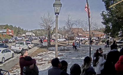
A great local that houses a fantastic array of artefacts that portray the history of the city
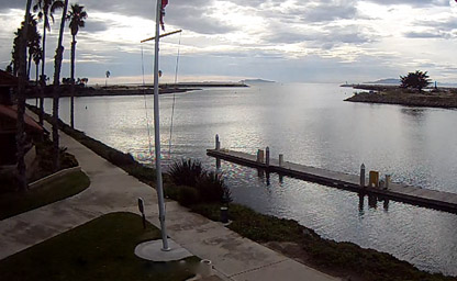
Nestled between Los Angeles and Santa Barbara
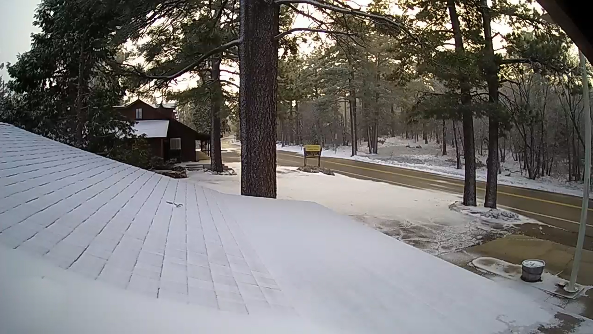
Located on the S1 Scenic Byway, Sunrise Highway
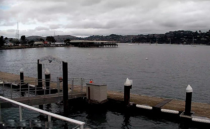
Located right next to the Sausalito Ferry Landing
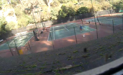
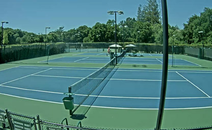
Tennis courts located near beautiful Lake Merritt
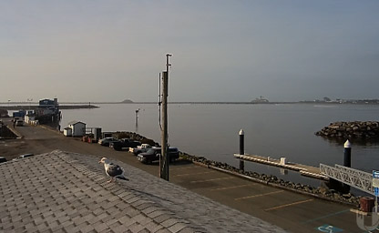
Central point to enjoy both the Northern California Coast and the Redwoods State and National Parks
The best place to play tennis and various social activities will ensure lots of fun for all
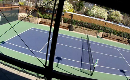
The Marin Tennis Club is the best tennis facility in Marin County
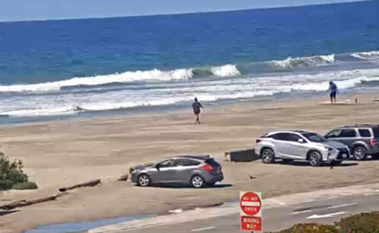
An excellent location for live surf cam
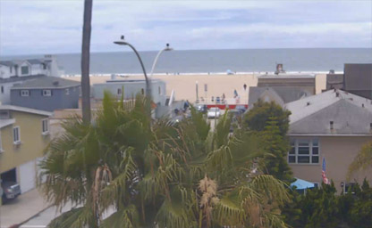
Situated just a block from the beach on the sun-kissed Balboa Peninsula
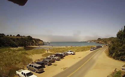
Located in one of the most picturesque coastal regions in the U.S
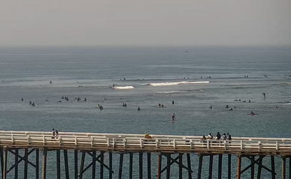
Views from the beautiful Carbon Beach - Point Dume to Palos Verdes
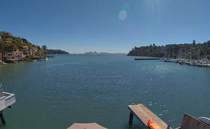
A lush, scenic area along Richardson Bay
Conveniently located in California's Central Valley
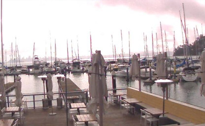
Located on the Corinthian Yacht Club and Harbor
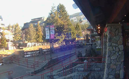
From the shores of North America’s largest alpine lake
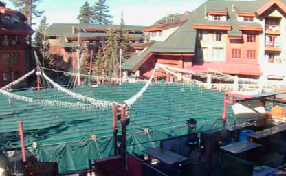
Offering a unique blend of local and national brands
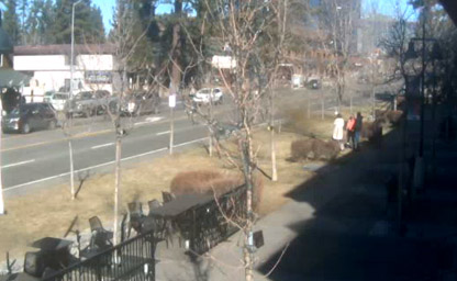
California ski resort that is one of the most unique snow sports destinations on the planet
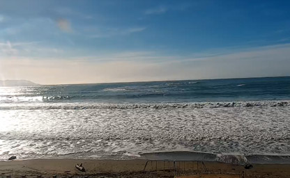
Morro Bay is just 5 miles to the south, and San Luis Obispo is only 21 miles south of Cayucos
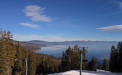
It is the location of the beautiful Homewood Mountain Resort
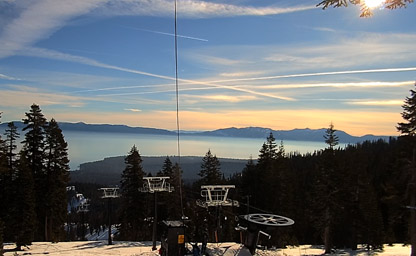
An unincorporated community in Placer County
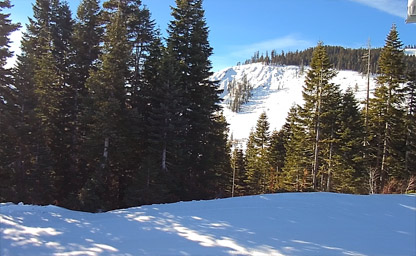
Situated from north of Chambers Landing and Tahoma
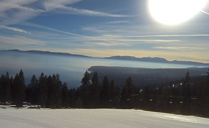
Situated 5.5 miles south of Tahoe City
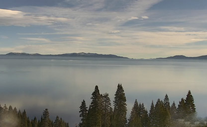
Situated on the west shore of Lake Tahoe
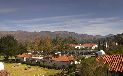
Set in a valley in the Topatopa Mountains
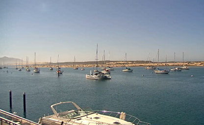
In the heart of California’s Central Coast
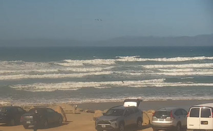
Live feed of Morro Bay Strand State Beach from the Rock to North Morro Bay
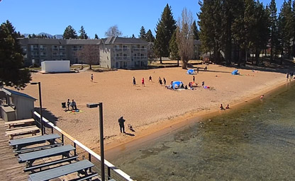
You will be surrounded with breathtaking mountain and lake views
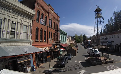
Located above the fog and below the snowline
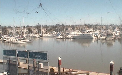
Awesome views abound from virtually any slip you’re in
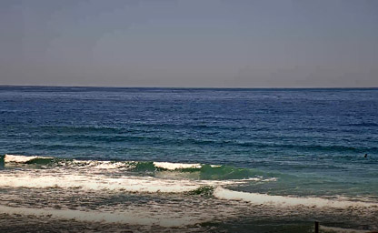
Wide sandy beach with peaks breaking on both sides of the pier
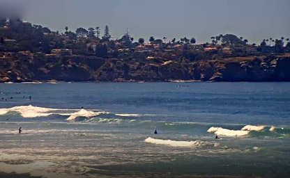
The beachfront refuge of choice in SoCal

Patrolling shorelines and bodies of water
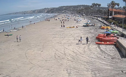
Stunning sunsets from your private balcony
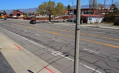
Located in the heart of Lee Vining, less than 10 minutes from the Canyon
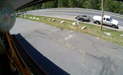
Situated in the middle of CA-4 Road at Better Altitude Properties
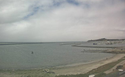
Weather forecast at Sam's Chowder House overlooking Pillar Point Harbor
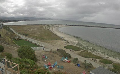
Weather forecast at Sam's Chowder House overlooking Pacific Ocean at California
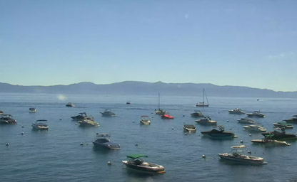
Located on the lake on the beautful West Shore at Homewood
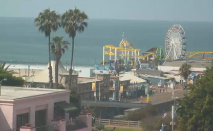
Ideally situated on beautiful Ocean Avenue

Situated on the historic Balboa Peninsula
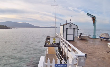
Yachting on beautiful Carmel Bay
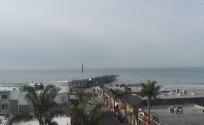
It's known for its wineries and many beaches
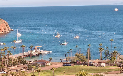
Avalon is the only incorporated city on Santa Catalina Island
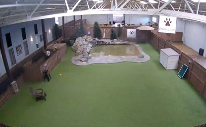
Cameras are viewable from 8am-6pm every day

Located near San Francisco International Airport

Located on 61,000 square feet of land
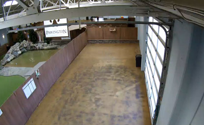
10 different types of boarding suites and settings to match your pet’s preferences
Live webcams across California provide a fascinating window into the Golden State’s diverse landscapes, vibrant cities, and iconic landmarks. From the breathtaking beaches of Malibu and the rugged cliffs of Big Sur to the bustling streets of Los Angeles and San Francisco, these webcams offer real-time views of California’s dynamic beauty. Nature lovers can explore Yosemite’s granite peaks, Lake Tahoe’s shimmering waters, and the serene desert landscapes of Joshua Tree National Park. Coastal cameras capture the crashing waves of the Pacific Ocean, while urban feeds showcase the energy of California’s cultural hubs. For those tracking weather or simply enjoying the sights, live webcams also provide stunning vistas of the Golden Gate Bridge, the Hollywood Hills, and the vineyards of Napa Valley. Whether planning a trip or simply taking in the scenery, California’s live webcams bring the state’s endless wonders right to your screen.
California is a land of unparalleled diversity, offering a rich tapestry of history, a variety of climates, and dramatic geography that has shaped its role as a cultural and economic powerhouse in the United States. The Golden State has long captivated imaginations with its stories of exploration, innovation, and natural wonders.
The history of California stretches back thousands of years, beginning with the Native American tribes who first inhabited the region. Groups such as the Chumash, Miwok, and Ohlone developed complex societies, thriving on the state’s abundant natural resources. From the Pacific Coast to the Sierra Nevada, these communities left behind a legacy of rock art, tools, and oral traditions that continue to be celebrated today.
In 1542, Spanish explorer Juan Rodríguez Cabrillo became the first European to set foot in California. Over the next two centuries, Spanish missions, presidios, and pueblos were established as part of an effort to colonize the region. The mission system, led by figures like Junípero Serra, played a significant role in shaping the cultural and architectural landscape of California. Many of these missions, such as Mission San Diego de Alcalá and Mission Santa Barbara, still stand as historical landmarks and are popular tourist destinations.
California’s transition from Spanish to Mexican control in 1821 marked a new chapter in its history. The Mexican period saw the rise of ranchos, large land grants that became the foundation for California’s agricultural economy. The Bear Flag Revolt of 1846 and the subsequent U.S.-Mexican War brought California under American control, leading to its designation as the 31st state in 1850.
The discovery of gold at Sutter’s Mill in 1848 triggered the California Gold Rush, a transformative event that drew hundreds of thousands of prospectors, settlers, and entrepreneurs from around the world. The Gold Rush not only spurred economic growth but also accelerated the construction of infrastructure, including railroads and ports, that connected California to the rest of the nation. In the 20th century, California continued to evolve as a hub of innovation, from the rise of Hollywood as the center of the entertainment industry to Silicon Valley’s emergence as a global leader in technology. Today, California’s history is woven into its cultural fabric, visible in its architecture, festivals, and diverse communities.
California’s climate is as varied as its geography, ranging from Mediterranean conditions along the coast to arid deserts in the south and alpine environments in the mountains. The coastal regions, including cities like Los Angeles, San Diego, and San Francisco, enjoy mild, wet winters and warm, dry summers. This Mediterranean climate makes the coast a year-round destination for beachgoers and outdoor enthusiasts.
Inland areas, such as the Central Valley, experience a more continental climate, with hotter summers and cooler winters. This fertile region, known as one of the most productive agricultural areas in the world, benefits from its unique combination of climate and soil, supporting crops like almonds, grapes, and citrus fruits. California’s wine country, particularly Napa and Sonoma Valleys, thrives in this climate, producing world-renowned wines.
The deserts of Southern California, including the Mojave Desert and Death Valley, are characterized by extreme temperatures and sparse rainfall. Death Valley, one of the hottest places on Earth, holds the record for the highest temperature ever recorded: 134°F (56.7°C) in 1913. Despite the harsh conditions, the desert blooms with life during the spring, when wildflowers carpet the landscape after rare rainfalls.
In contrast, the Sierra Nevada mountain range and other high-altitude regions experience alpine climates, with heavy snowfall in the winter and cool summers. Destinations like Lake Tahoe and Mammoth Lakes are popular for skiing, snowboarding, and hiking, attracting visitors seeking outdoor adventures. California’s diverse climates not only shape its ecosystems but also influence tourism, agriculture, and urban development.
California’s geography is a study in contrasts, encompassing towering mountains, vast deserts, fertile valleys, and a stunning coastline. Covering approximately 163,696 square miles, it is the third-largest state in the U.S. and features some of the most iconic natural landmarks in the country.
The Sierra Nevada, a prominent mountain range in eastern California, is home to several of the state’s most famous attractions, including Yosemite National Park, Sequoia National Park, and Kings Canyon National Park. Yosemite’s granite cliffs, waterfalls, and giant sequoias draw millions of visitors annually, while Mount Whitney, the tallest peak in the contiguous United States, rises to 14,505 feet (4,421 meters).
The Central Valley, nestled between the Sierra Nevada and the Coast Ranges, is the heart of California’s agricultural industry. This expansive, flat region is crisscrossed by rivers such as the Sacramento and San Joaquin, which provide essential water for farming and wildlife habitats. The valley’s productivity has earned it the nickname “America’s Breadbasket.”
California’s coastline stretches for more than 800 miles along the Pacific Ocean, offering diverse landscapes ranging from sandy beaches to rocky cliffs. The rugged coastline of Big Sur is particularly famous for its breathtaking views and dramatic scenery, while Southern California’s beaches, such as Santa Monica and Huntington Beach, are iconic destinations for sunbathing and surfing.
In Southern California, the Mojave Desert and the Colorado Desert create stark yet beautiful landscapes. Joshua Tree National Park, located at the confluence of these two deserts, features unique rock formations and the iconic Joshua trees that thrive in this arid environment. Further north, Death Valley National Park is a land of extremes, with salt flats, sand dunes, and canyons that showcase the power of nature’s forces.
The volcanic landscapes of Northern California, including Mount Shasta and Lassen Volcanic National Park, add another dimension to the state’s geography. These areas are reminders of California’s position along the Pacific Ring of Fire, a tectonically active region that contributes to the state’s earthquakes and geothermal activity.
California’s geographic diversity is also reflected in its ecosystems, which range from coastal wetlands to alpine meadows. The state is home to an incredible array of plant and animal species, many of which are found nowhere else on Earth. This biodiversity, combined with its natural beauty, makes California a haven for outdoor enthusiasts and conservationists alike.
Tip: To fully experience California’s geographic wonders, consider taking a scenic drive along the Pacific Coast Highway (Highway 1). This iconic route offers unparalleled views of the coastline, passing through charming towns like Carmel-by-the-Sea, historic lighthouses, and dramatic overlooks such as McWay Falls.
Interesting Fact: California is home to the tallest, largest, and oldest trees in the world. The coast redwoods in Northern California are the tallest, the giant sequoias of the Sierra Nevada are the largest by volume, and the ancient bristlecone pines, found in the White Mountains, are over 4,000 years old, making them the oldest known living trees on Earth.